Fire Safety
We all need to assess the fire safety of our properties and
cut, chip or burn excess fuel load. Unsafe property compromises
the safety of your home and those of your neighbors. The law
requires that landowners make their properties fire safe,
so it is crucial that we all work together to protect our
shared interests.
Proper maintenance results in increased biodiversity, better
water flow to riparian areas, healthier trees, fewer power outages
from downed trees, and superior aesthetics.
In the event of a fire or emergency, there are two emergency
escape routes from our community. A map and directions
for these exits is on this page.
Here are some web sites with information on how to make your
property fire safe.
California Department of Forestry and Fire Protection (CDF)
http://www.fire.ca.gov
National Wildland/Urban Interface Fire Program
http://www.firewise.org |
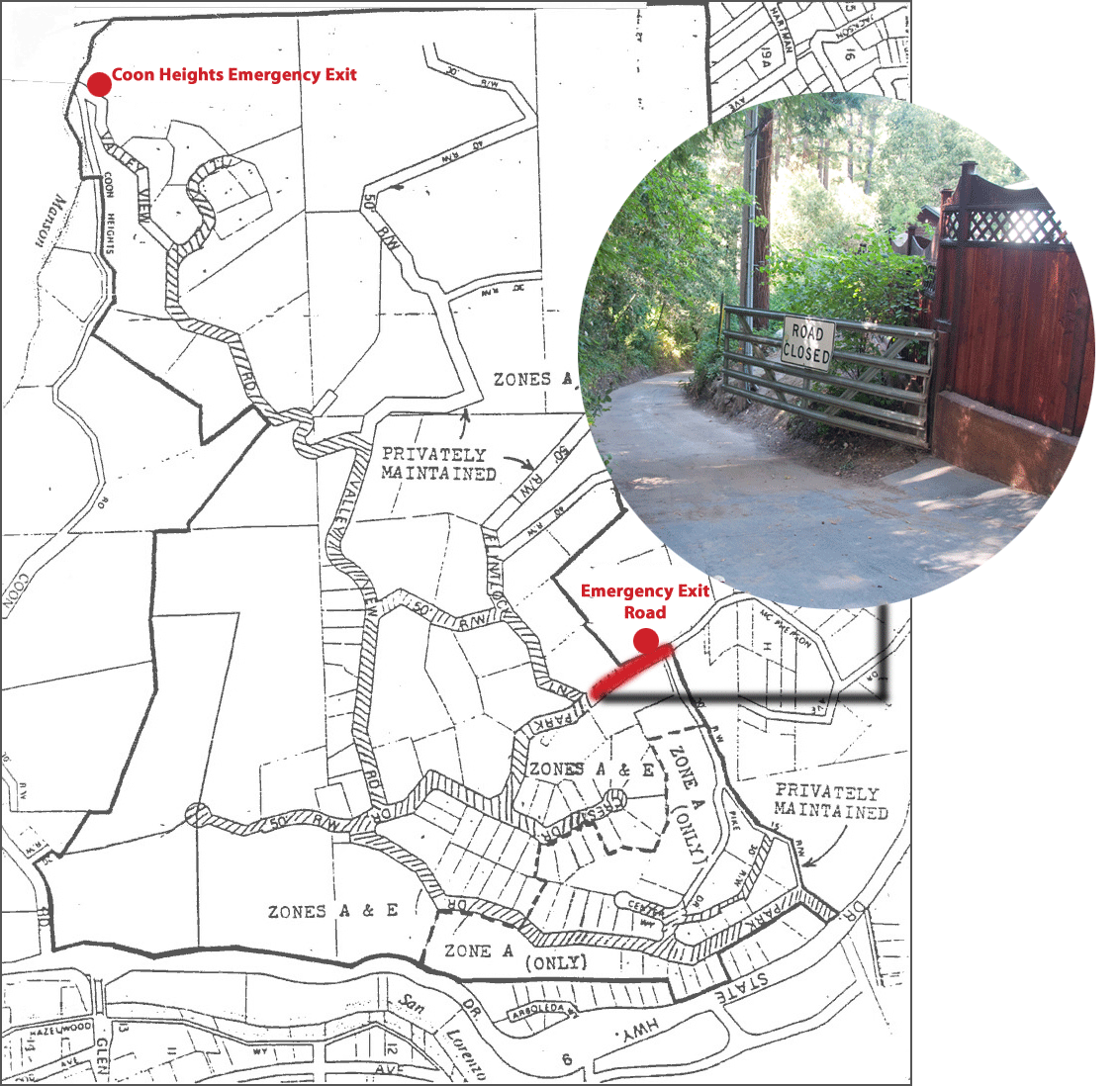
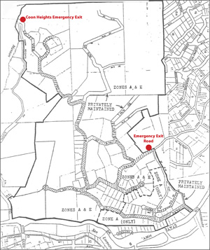
Emergency Routes
Exit Road at end of Park
Next to the Vogler residence at 785 Park Drive, There is
an emergency exit road. It looks like this. It has a metal gate and a sign
that reads, “Road Closed.” Only use this road
in case of an emergency. When you get to the bottom of
the emergency exit road, drive straight ahead onto the
gravel road. Stay to the left on the gravel road as you
proceed through a series of intersections and intersecting
driveways. Make no sharp turns! Just drive forward keeping
to the left until the road gets to the top of a little
rise and you are back on a paved surface. Once on the paved
surface, stay to the right through a series of intersections
and intersecting driveways. Make no sharp turns! Drive
downhill, keeping to the right until you reach Highway
9.
Coon Heights Exit
Since part of Coon Heights was destroyed in a slide, pedestrians
can only use this emergency exit. The trail is hazardous,
so pass at your own risk. Proceed almost to the end of
Valley View Road and turn left down a gravel road at a
mailbox with the address 999. Go straight downhill past
a locked metal gate. The road turns to dirt for about two
blocks until you reach an intersection near the creek.
Turn sharply to the left and proceed downhill about one
block to the Coon Heights slide. Use extreme caution and
DO NOT FALL IN! There is a precarious trail along the uphill
(left) side of the slide that will get you across. Continue
slightly uphill for another block through brush and fallen
trees until you reach a collection of abandoned vehicles
in the roadway. Pass through these obstacles onto a gravel
road and continue two more blocks downhill past another
metal gate, until you reach the paved portion of Coon Heights
road that leads down to Highway 9; about a half mile.
|